Getting Started:

Getting Started
-
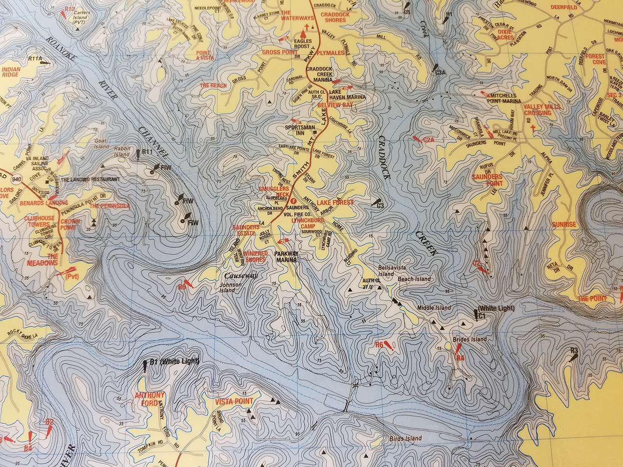
Get a plat plan. You can get one from your county GIS service, or you can make your own drawing. Identify where your 800’contour line is located.
-
Assess the property. Include the degree of slope, amount of light, moisture and soil types on your property.
-
Decide on views. What views do you want to preserve? Do you have areas where a buffer could increase privacy or reduce noise from recreational activities on the lake?
-
Make a drawing. Draw the area to be landscaped. Include all existing trees, shrubs and plants currently in the buffer area. Also, note all utilities, patios, paths, walls and hardscape.
Start up questions:
-
Start small if you have limited time or budget. Plant as much buffer next to the water as possible and in subsequent years add more plantings to lengthen or widen your buffer landscape.
-
Choose plants for your plan that include as many native species as possible. They do well in local soils and conditions, and they also attract wildlife.
-
Select a variety of trees, shrubs, ground covers, and flowering perennials. Add visual interest with a mixture of heights and colors. Think Deep Roots.
- Space your plantings to allow plenty of room for growth to mature size. Crowded plantings look good at first but often do not survive over time.
Getting Planted:
-
Watering: Keep the buffer well watered and weeded for the first two years. Avoid frequent shallow watering which encourages roots to stay on the surface.
-
Mulching: Apply two to four inches of course composted mulch between plants to help keep weeds down and hold moisture.
-
Weeding: Learn to identify invasive species plants and remove them as soon as you see them.
-
Feeding: Enjoy very little maintenance and use no fertilizer after your buffer landscape is established.
-
Trimming: Cut back herbaceous plant growth from the previous year to within two inches of the ground in the spring.
Getting Established:
- What you would like to do with your landscape?
- AEP compliance issues (800’ ft. contour)
- Reduce maintenance
- More natural look
- Solving run off issues
- Other?
- How do you use your yard now and what uses you would like for your yard.
- Activity areas
- Access to lake
- Gardens
- Attract wildlife
- Do you want to use a landscaper/designer, or do you plan to do the majority of the work yourself?
- How much help do you need? planning, planting, plant selection, environmental impact knowledge
- Have you thought about or decided on a timeline or budget for the project?
- Full scale project at one time or phased in project plan?Landscape only or part of other construction or expansion projects -buildings, hardscape, dock?
- What are your goals for the finished landscape?
- Cost considerations?
- Long term maintenance considerations?
- Expansion in the future?
- Environmental impact- go green considerations?
- AEP mitigation compliance?


